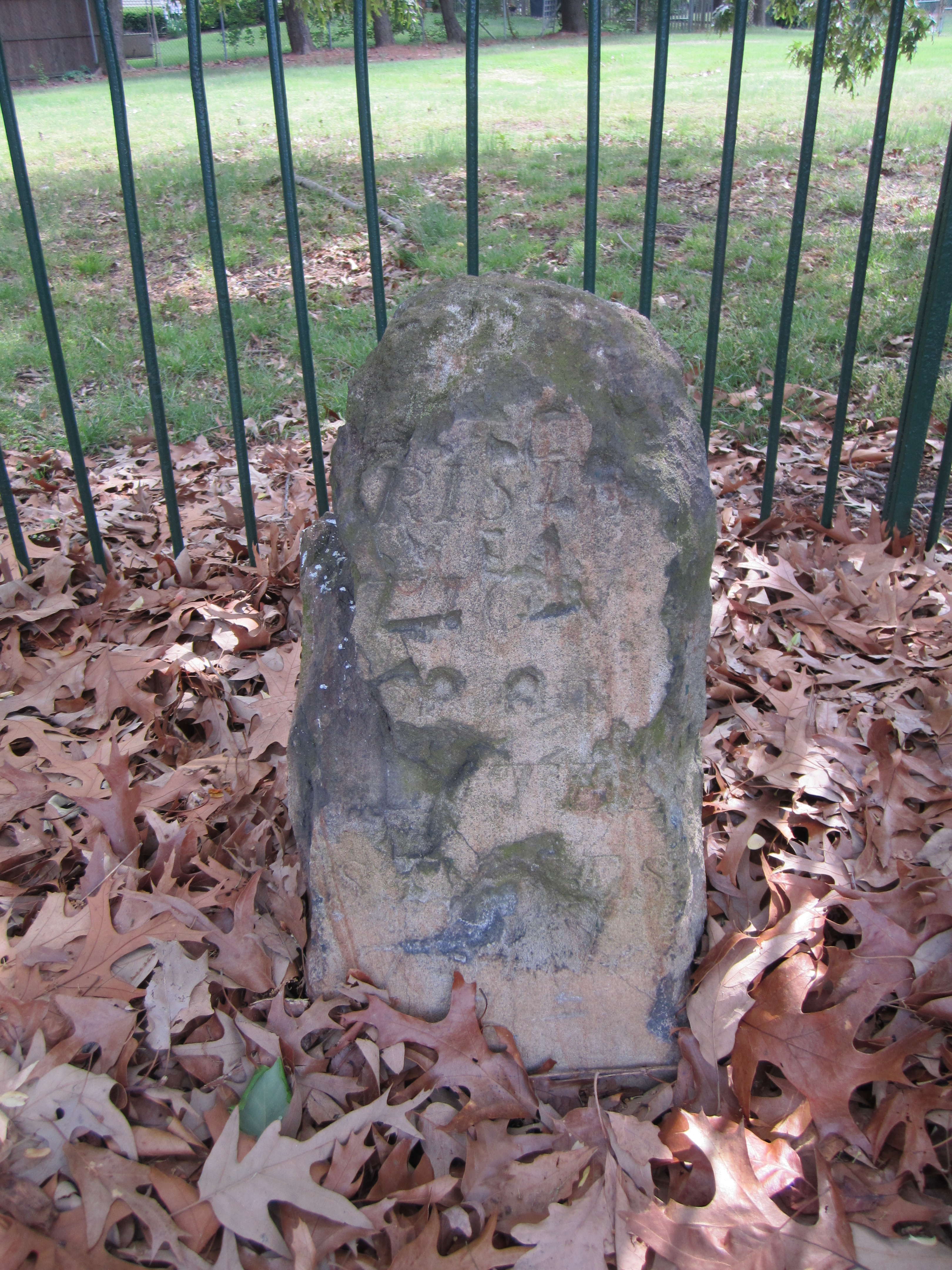
King Street & S. Wakefield Street, Alexandria, Virginia
Adjacent to Fairlington Village at the edge of east side of King Street between S. Wakefield Street and Route 395. According to Woodward, farm plows had destroyed the top of this stone by the early 1900s. After being re-positioned when the highway was widened, the remaining portion of the stone has sunk very low into the ground.
Basic Google Maps Placemarks error: JavaScript and/or CSS files aren't loaded. If you're using do_shortcode() you need to add a filter to your theme first. See the FAQ for details.