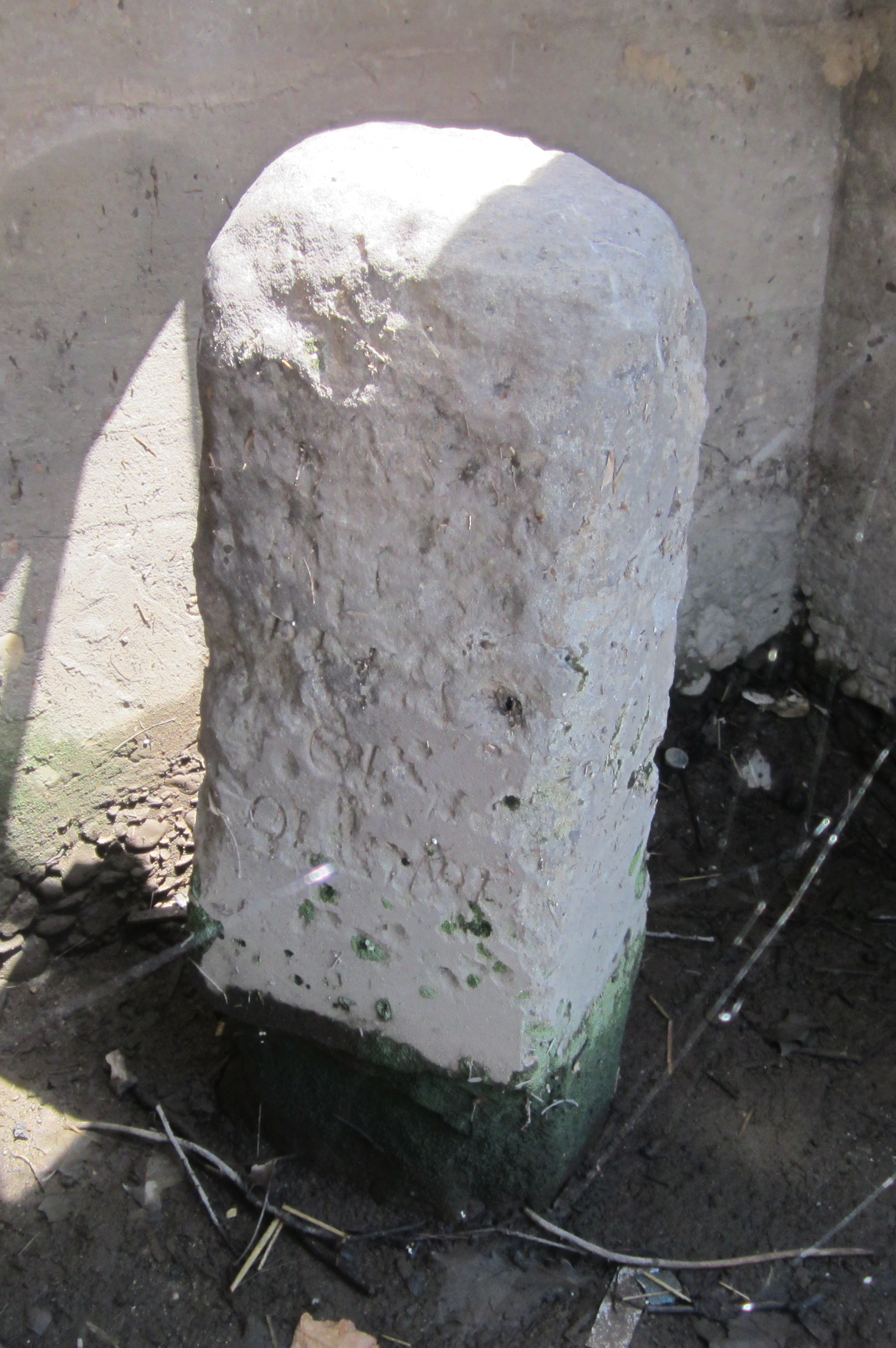
1220 Wilkes Street, Alexandria, Virginia
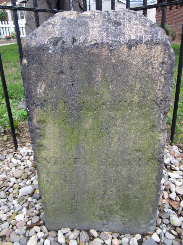
1220 Wilkes Street: SE corner of the intersection of Wilkes and S. Payne Streets in Alexandria, Virginia. Around 1904, the stone was moved 225 feet from its original position. When it was reset in the ground, it was rotated such that the sides of the stone marked “Virginia” and “Jurisdiction of the United States” no longer face their respective jurisdictions. The letters on the District face of the stone are smaller than those of the other stones and in a different script.
Basic Google Maps Placemarks error: JavaScript and/or CSS files aren't loaded. If you're using do_shortcode() you need to add a filter to your theme first. See the FAQ for details.