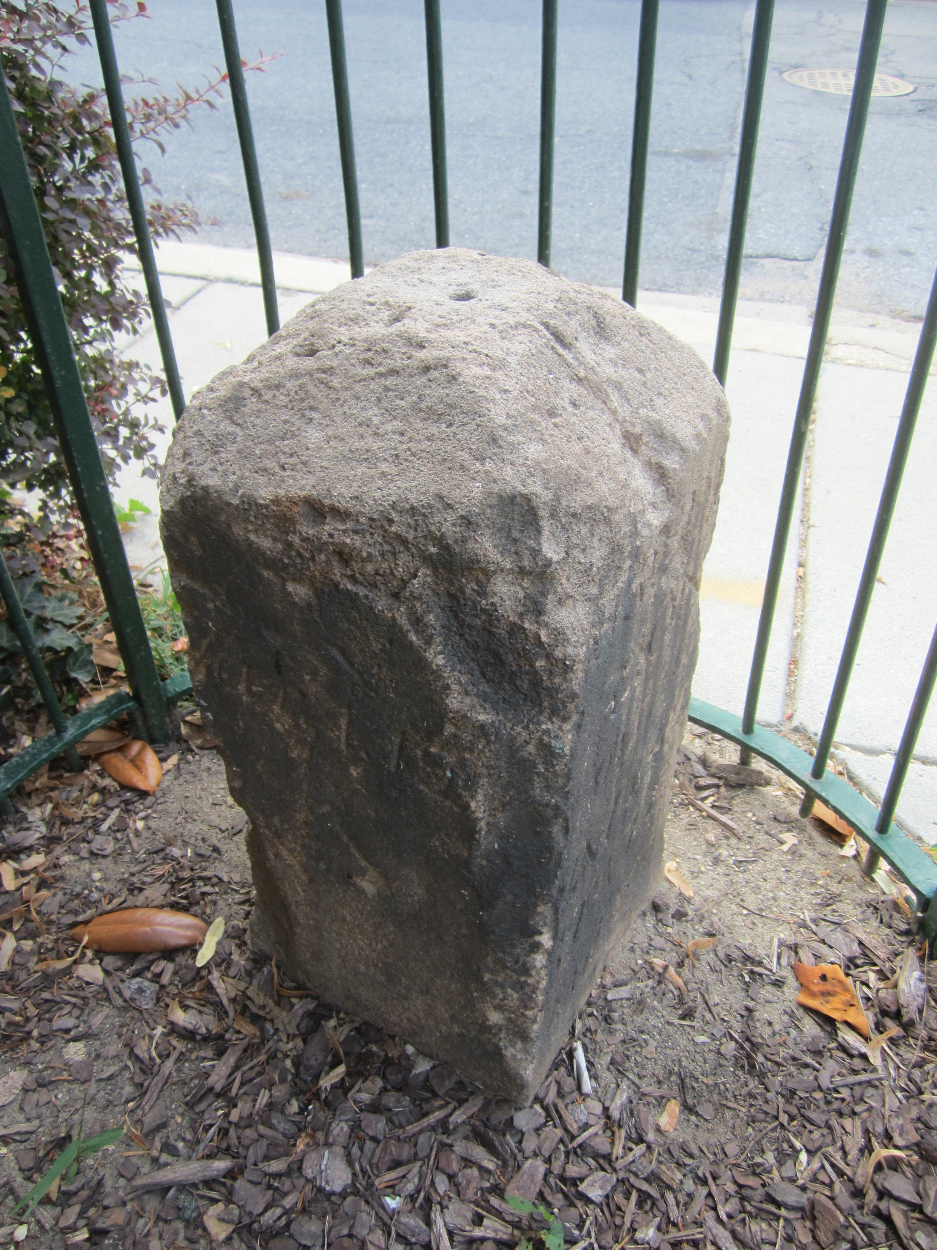
7 Russell Road, Alexandria, Virginia
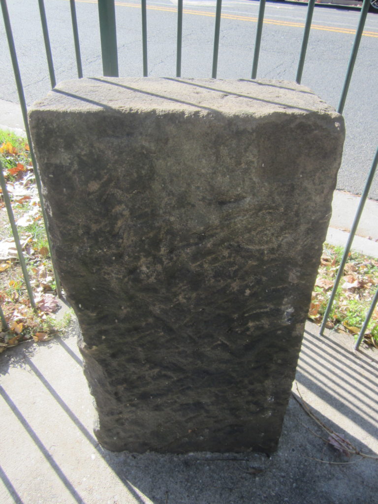
7 Russell Road: east side of Russell Road just north of King Street. This is neither the original stone nor the original location. Baker and Woodward reported the original stone to be missing as of the late 1800s, and DAR records show that the current stone was placed at this location in 1920. The original stone was located about 0.35 northwest of this replacement. According to Woodward, the original “stone was evidently placed on the east side, and very close to, [King Street], on the eastern side of Shuter’s Hill, in a subdivision” now called Rosemont.
Basic Google Maps Placemarks error: JavaScript and/or CSS files aren't loaded. If you're using do_shortcode() you need to add a filter to your theme first. See the FAQ for details.